File:Israel relief location map.svg
Jump to navigation
Jump to search

Size of this PNG preview of this SVG file: 324 × 600 pixels. Other resolutions: 129 × 240 pixels | 259 × 480 pixels | 415 × 768 pixels | 553 × 1,024 pixels | 1,106 × 2,048 pixels | 512 × 948 pixels.
Original file (SVG file, nominally 512 × 948 pixels, file size: 4.34 MB)
Captions
Captions
Add a one-line explanation of what this file represents

Summary[edit]
| Description |
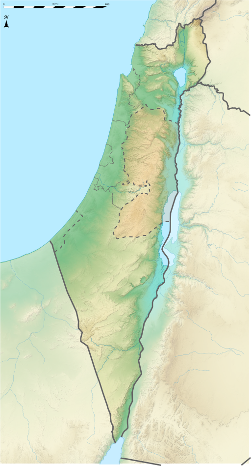
English: Israel relief location map |
| Date | |
| Source |
This file was derived from: |
| Author | Matankic |
| Other versions |
 |
Licensing[edit]
I, the copyright holder of this work, hereby publish it under the following license:
This file is licensed under the Creative Commons Attribution-Share Alike 4.0 International license.
- You are free:
- to share – to copy, distribute and transmit the work
- to remix – to adapt the work
- Under the following conditions:
- attribution – You must give appropriate credit, provide a link to the license, and indicate if changes were made. You may do so in any reasonable manner, but not in any way that suggests the licensor endorses you or your use.
- share alike – If you remix, transform, or build upon the material, you must distribute your contributions under the same or compatible license as the original.
File history
Click on a date/time to view the file as it appeared at that time.
| Date/Time | Thumbnail | Dimensions | User | Comment | |
|---|---|---|---|---|---|
| current | 09:12, 24 August 2021 | | 512 × 948 (4.34 MB) | ויקי4800 (talk | contribs) | תיקון גבולות מדינת ישראל |
| 19:39, 31 January 2021 |  | 1,644 × 3,055 (646 KB) | Matankic (talk | contribs) | Uploaded own work with UploadWizard |
You cannot overwrite this file.
File usage on Commons
There are no pages that use this file.
File usage on other wikis
The following other wikis use this file:
- Usage on cs.wikipedia.org
- Usage on he.wikipedia.org
- גאוגרפיה של ארץ ישראל
- ים המלח
- פיקוד המרכז
- פיקוד הדרום
- הר חרמון
- ישראל
- רעש שביעית
- פורטל:המורשת העולמית
- פורטל:המורשת העולמית/המורשת העולמית בישראל
- רעידת האדמה בארץ ישראל (1927)
- תבנית:מפת מיקום/ישראל
- תנין (שדה גז)
- נועה (שדה גז)
- משתמש:Ariel196/טיוטה
- מרין (שדה גז)
- תבנית:גאוגרפיה של ישראל
- מרי (שדה גז)
- הקרבות על שיא החרמון
- משתמש:Orangepluto123/טיוטה
- גרופינא
- Usage on mt.wikipedia.org