Ashburn Virginia Pictures, Images and Stock Photos
Browse 120+ ashburn virginia stock photos and images available, or search for washington dc skyline or northern virginia to find more great stock photos and pictures.
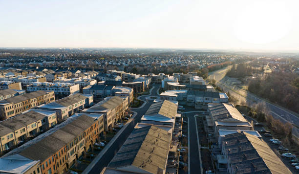
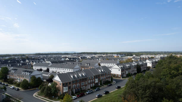
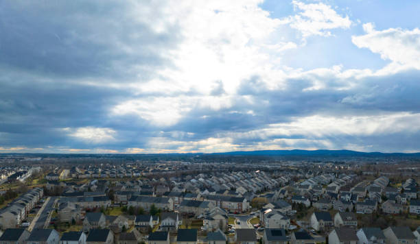
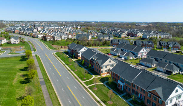
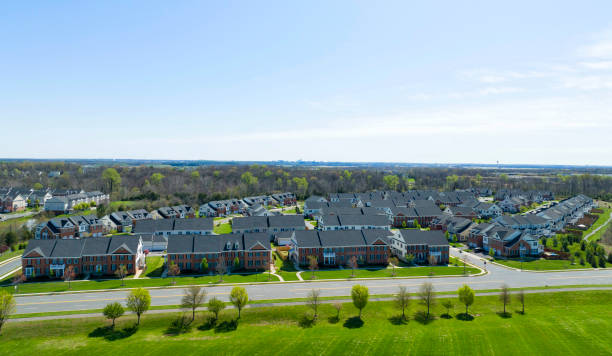
Morning aerial view of an Ashburn, Virginia neighborhood.

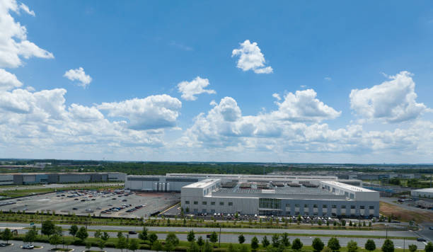
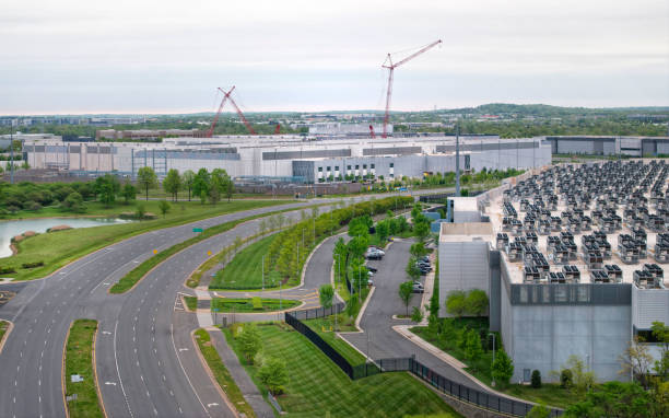
Aerial view of a Ashburn, Virginia data center.
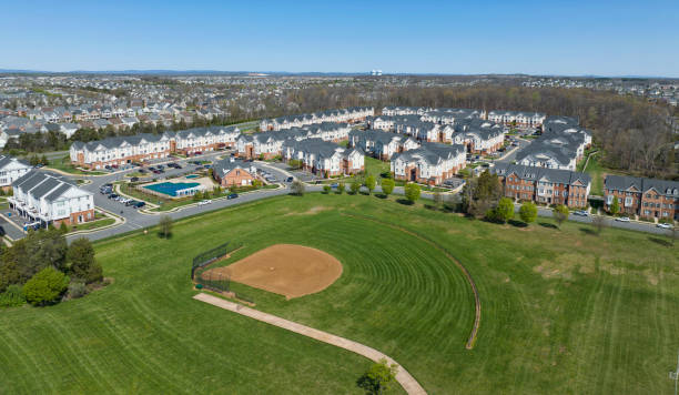
Aerial view of a baseball diamond with town homes in view.
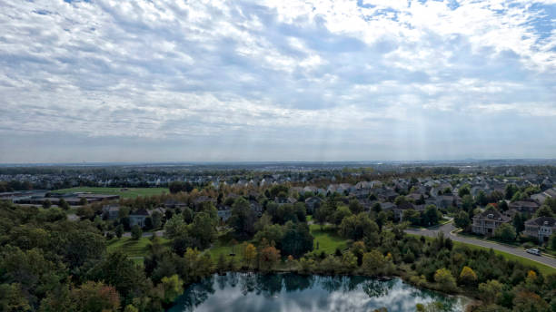
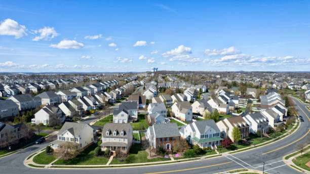
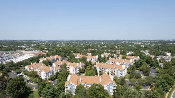
Aerial view of an Ashburn, Virginia neighborhood.

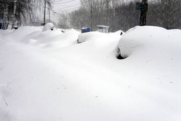
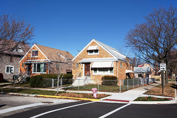
American suburbs covered with snow durind 2016 snowmageddon.
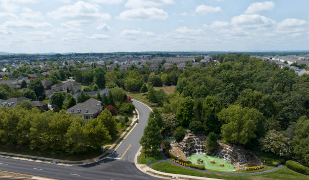
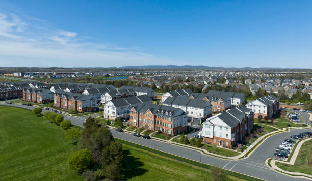
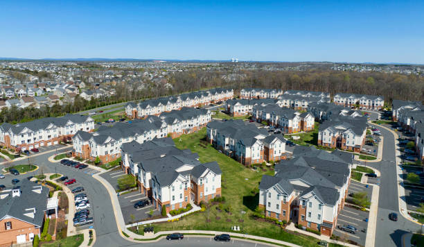
Aerial view of a Ashburn, Virginia residential community.
Ashburn, Virginia community.
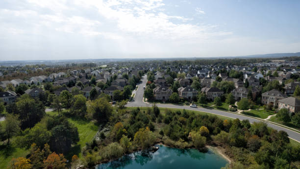
Aerial view of an Ashburn, Virginia residential community.
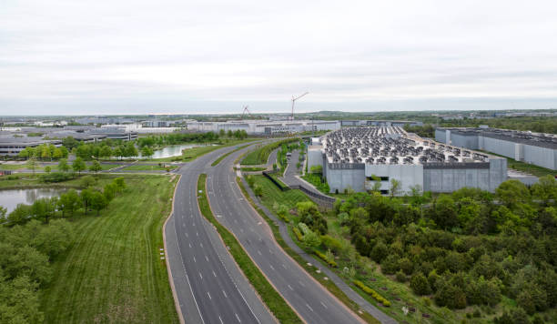
Morning aerial view of an Ashburn, Virginia data center
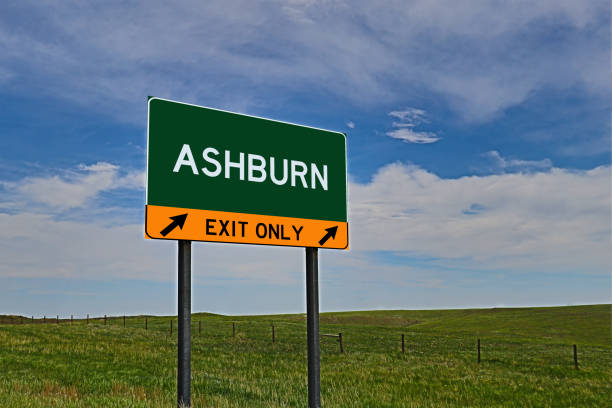
Composite Image of an "EXIT ONLY" US Highway / Interstate / Motorway for the town / city of ASHBURN
A dense urban area.

Washington Metro Ashburn Station at twilight.
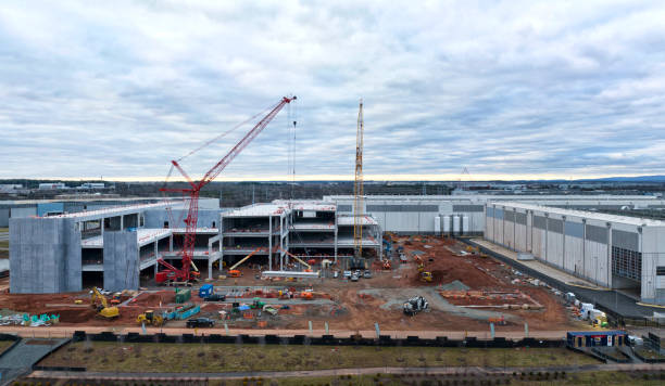
Data center being constructed in Ashburn, Virginia.

Downtown Ashburn, Virginia
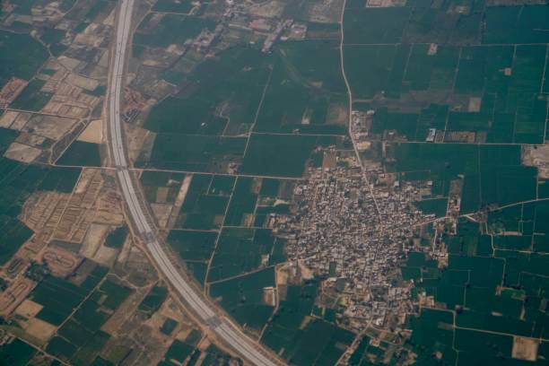
Aerial view of the Delhi city, India on plane.
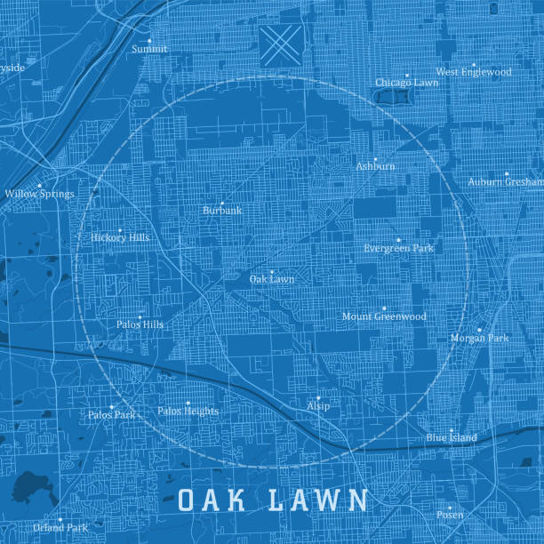
Oak Lawn IL City Vector Road Map Blue Text. All source data is in the public domain. U.S. Census Bureau Census Tiger. Used Layers: areawater, linearwater, roads.
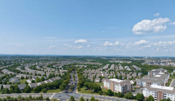
Aerial view of a residential community and data center.
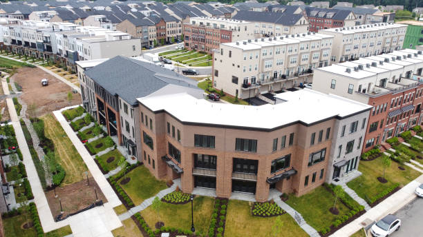
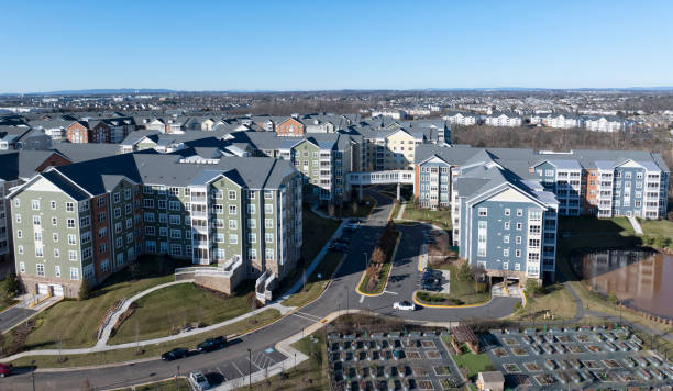
Aerial view of Condominiums in Ashburn, Virginia.
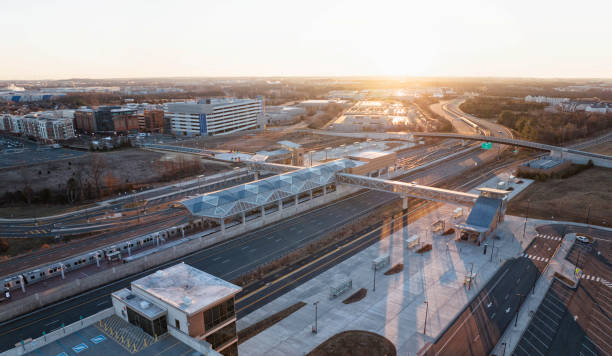
Morning on the Washington Metro Silver Line stop in Ashburn, Virginia.
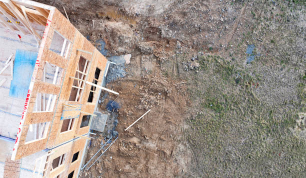
New Townhomes being constructed in Ashburn, Virginia.
Aerial view of an Ashburn, Virginia neighborhood.
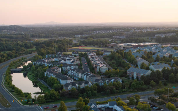
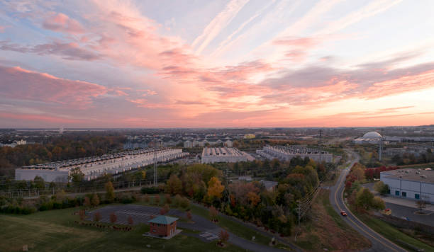
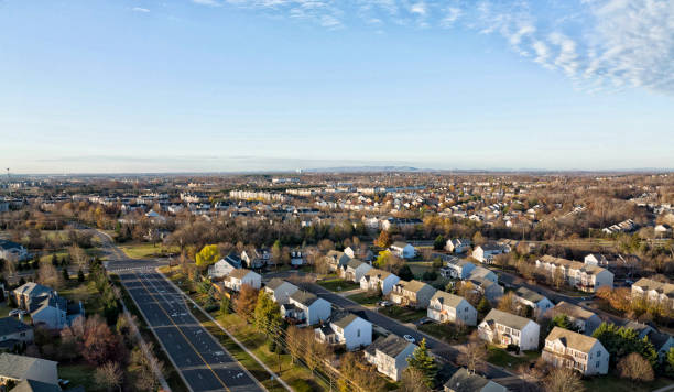
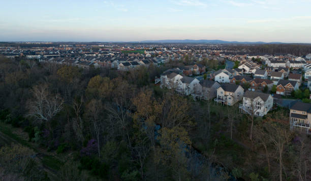
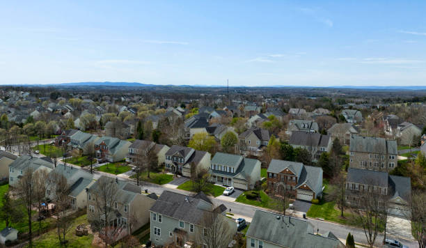
Morning aerial view of Ashburn, Virginia.

Ashburn, USA - October 19, 2018: New, modern, large Whole Foods Market sign on exterior building in city in Virginia with people, blue Amazon Prime delivery sign, entrance
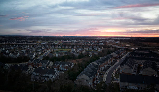
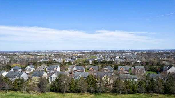
Aerial view of Ashburn, Virginia residential district.
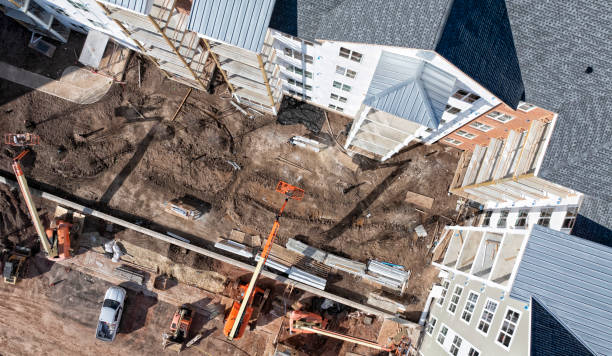
Residential construction in Ashburn, Virginia
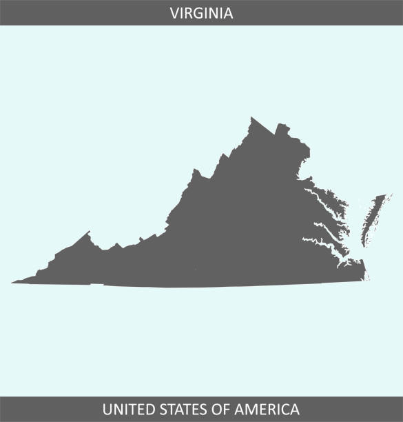
Outline vector map of Virginia state of USA. The map is accurately prepared by a map expert.
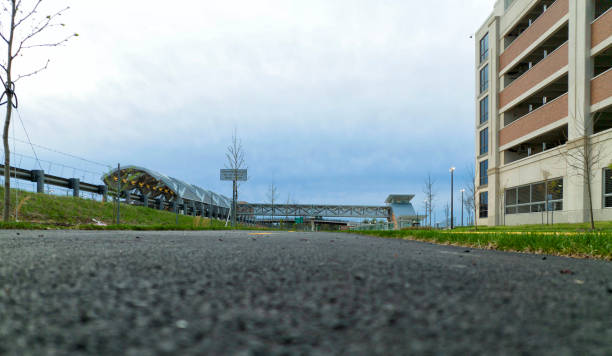
Loudoun County Ashburn, Virginia Metro Station.
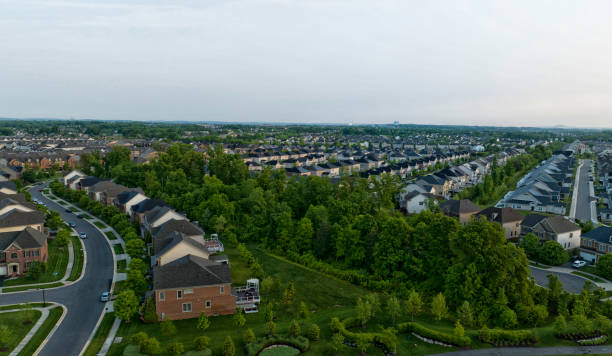
Ashburn, Virginia residential community.

Ashburn, USA - October 5, 2021: Old Dominion freight line truck with doubles tandem trailer hauling shipment on interstate highway in Georgia
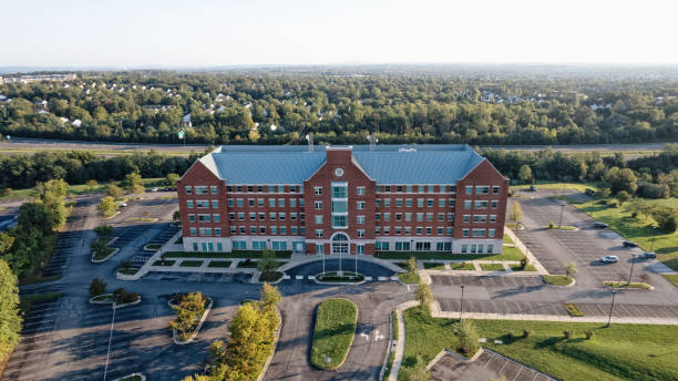
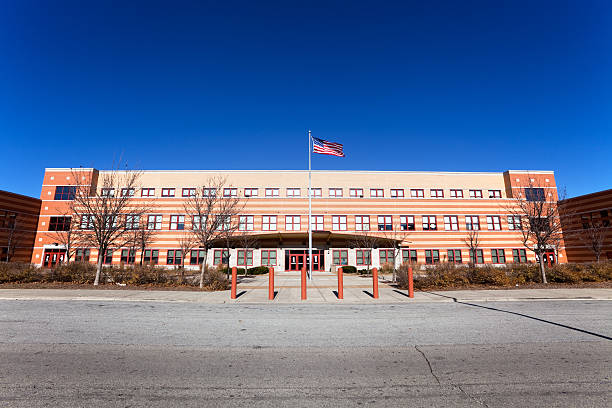
Ashburn, Virginia USA - September 6, 2021: Aerial view of Loudoun County Public Schools (LPCS) headquarters. LPCS services children from pre-K through 12th grade.
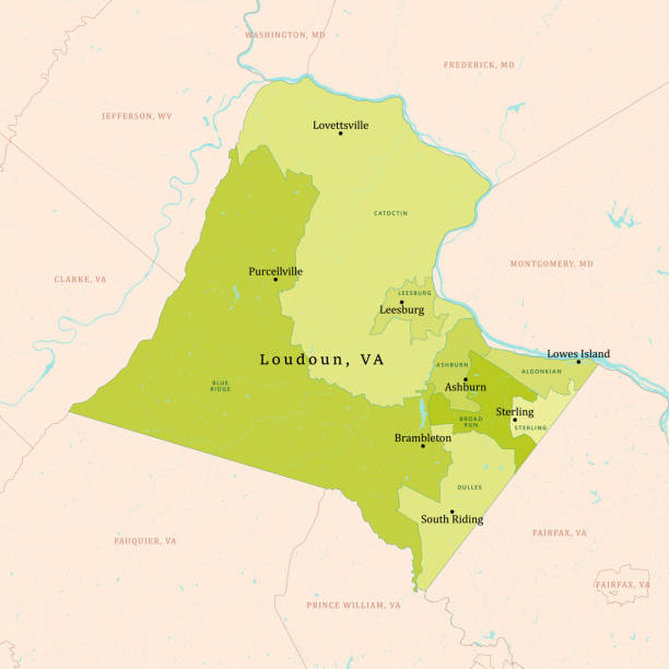
VA Loudoun County Vector Map Green. All source data is in the public domain. U.S. Census Bureau Census Tiger. Used Layers: areawater, linearwater, cousub, pointlm.

Betsy Ross triangle polygonal flag
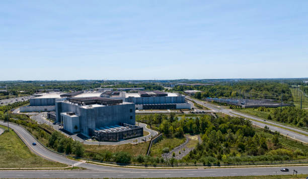
Data center in Ashburn, Virginia
Loudoun County, Virginia residential community.
Aerial view of an Ashburn, Virginia residential community.
Aerial view of an Ashburn, Virginia residential community.
Ashburn, Virginia townhomes.
Ashburn, Virginia residential community.
Aerial view of a Ashburn, Virginia residential community.
Aerial view of an Ashburn, Virginia residential area.

Ashburn, Virginia shops and apartments.

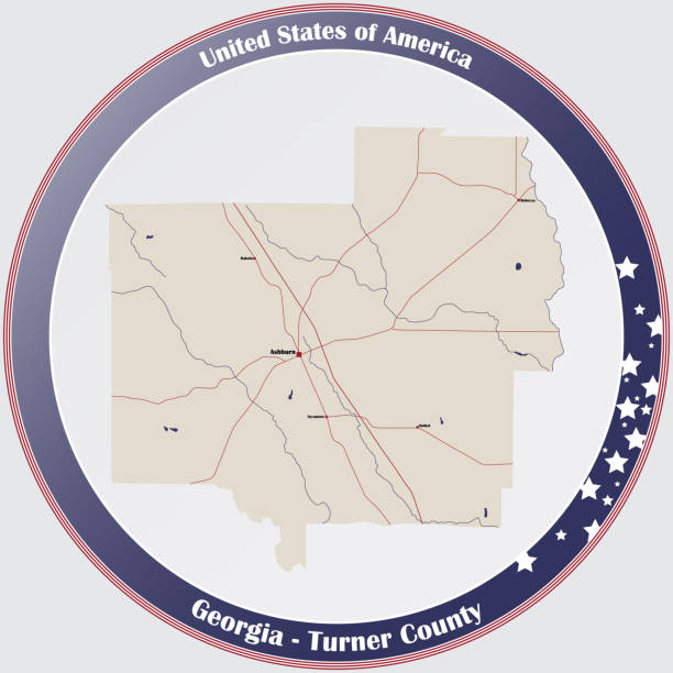
Large and detailed map of Turner county in Georgia, USA.
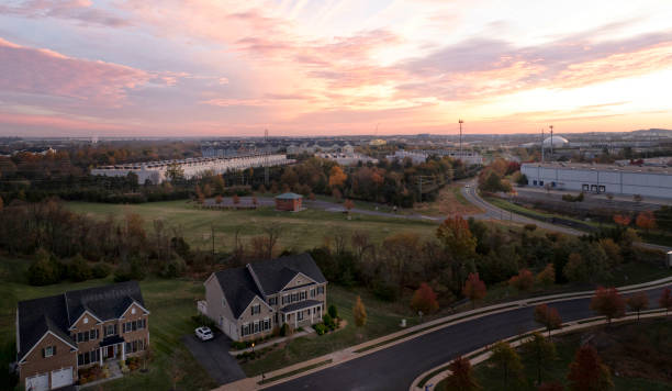
Aerial view of Northern Virginia homes and townhomes.

Aerial view of One Loudoun in Ashburn, Virginia.
Ashburn, Virginia community.
Loudoun County, Virginia Townhomes.
Aerial view of a data centers in Ashburn, Virginia
Aerial view of a data centers in Ashburn, Virginia
Aerial view of homes in Ashburn, Virginia.

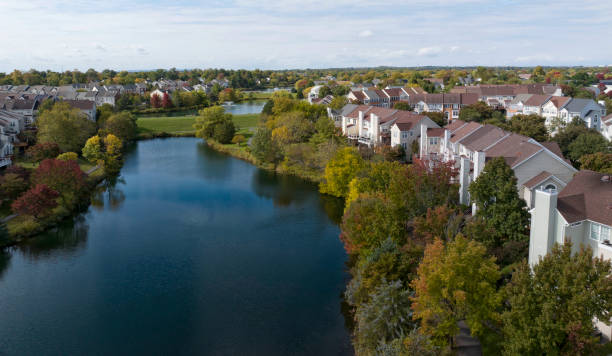
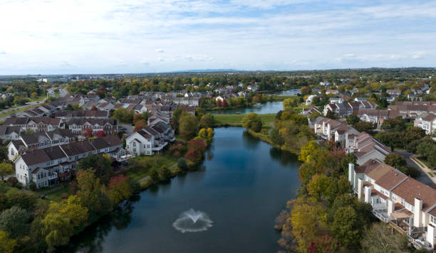
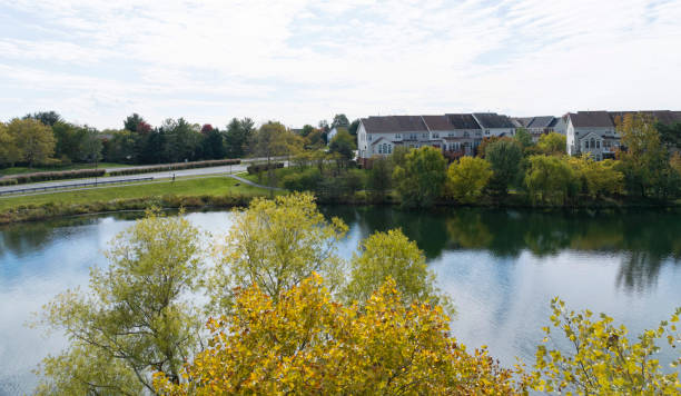
The Weeping Willow, its cascading emerald boughs, graces the serene waters of a tranquil pond, under the vast expanse of a clear blue sky in Ashburn, Virginia, USA.
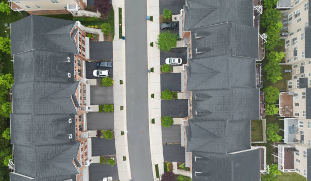
Aerial view of Townhomes in Ashburn, Virginia.
Aerial view of Townhomes in Ashburn, Virginia.
Aerial view of Townhomes in Ashburn, Virginia.
Aerial view of a Ashburn, Virginia residential community.
Aerial view of a Ashburn, Virginia residential community.